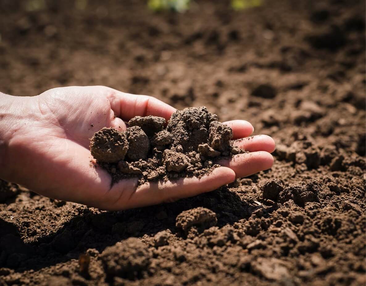
Subscribing to Precision Pastures biomass imagery service gives you access to regularly updated, NDVI-enhanced satellite maps of your property.
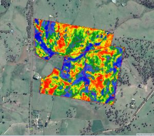
Our biomass maps use infrared and near-infrared light to index the active growth rate of your vegetation. This provides a detailed picture of the biomass quantity and quality on your farm, at a glance.
As a result, you will be able make more confident feed budgeting and drought-proofing decisions – and forecast livestock performance with greater certainty.
Track your vegetation growth in real-time
Make better drought-proofing decisions
Search historical data for insights on trouble spots
Forecast feed budget and livestock performance
OUR PROCESS
1. CONSULTATION
Precision Pastures will meet with you to establish the property location and paddock boundaries to be mapped.
2. SUBSCRIPTION
Access your personalised NDVI enhanced maps as often as you need.
3. RENEWAL
You can renew (or discontinue) your subscription after a 12 month period.
NDVI paddock imagery has helped us improve our rotation system. It identifies parts of the paddocks that consistently underperform or perform well, allowing us tailor our stocking rate and timing accordingly.
– Andrew Carruthers, AD Commodities, Armidale, NSW